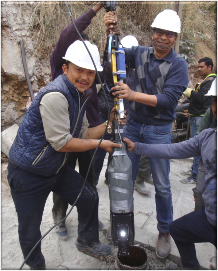
Surveying cavities in underground excavation projects can be difficult and dangerous.
The collapse of a roof inside the main access tunnel at PHPA-II hydroelectric dam construction site in
Bhutan resulted in loss of life and a significant delay in progress. Project participants could not move
forward with the tunnel work until they could ascertain the size and condition of the cavity that remained above
the caved-in debris blocking the chamber. An Roter Precision Instruments deployed a laser scanner specially designed
for cavity measurement on a non-rigid platform with custom built motion tracking sensors to accurately determine the
volume and dimension of the inaccessible space.
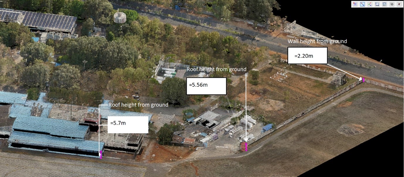
Geospatial Database of Airport
All airports in India, regardless of their size and geographical location needs to upgrade or expand their infrastructure to
accommodate an increase in capacity, enhance the efficiency of their processes and the overall customer experience.
We had the opportunity to work with one of the airports in India to utilize all the advanced 3D geospatial technologies to do a
detailed 3D survey of airport physical infrastructure including underground utilities combining with the revenue information to
create a 3D model of the airport and a web GIS platform.
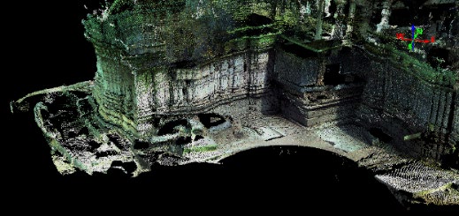
LiDAR Scanning of 11th Century Kakatiya’s Temple by Ansari Precision Instruments
For an improvement program of Archeological Survey of India (ASI), Hyderabad, Roter Precision
Instruments assisted with LiDAR Scanning and data processing of a 11th Century Temple for
digitization preservation and documentation. Roter’s team scanned the 11thCentury Kakatiya temple
in Karimnagar, AP on three field days under the supervision of Archeological Survey of India and
Deccan Heritage Foundation (DHF) teams. As a proof-of-concept project to validate the usability of
Laser Scanner in ASI’s workflow, Roter executed this scanning project at own cost.